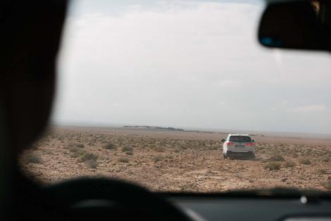
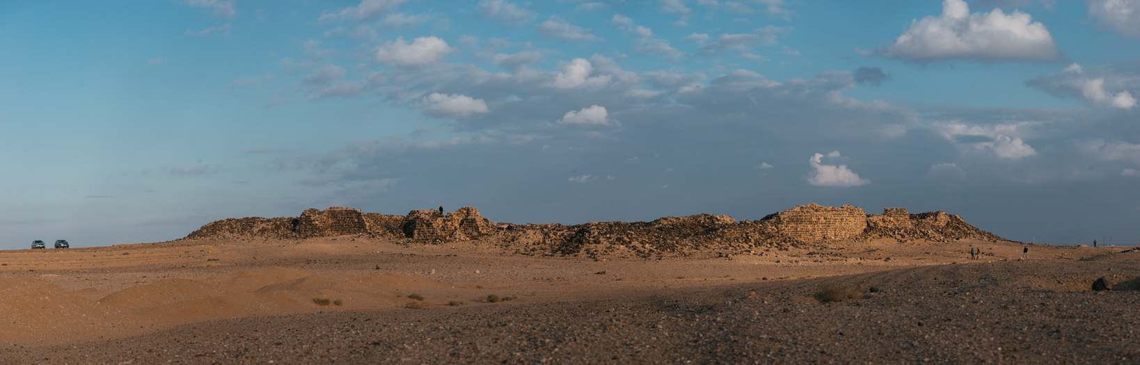
Dajaniya is a Roman-Byzantine fort located in Ma'an-Husseynijeh district, where we conducted documentation works in autumn 2018.
Fort's description
History of research
The Limes Arabicus Project
Our works
Literature
Gallery
Introduction
Dajaniya is one of the largest Roman forts in present-day Jordan. Up to now, only small-scale archaeological research has been conducted within the fort. In the late 1980s, American archaeologists made five survey trenches inside and two more outside. Analyzing the acquired material, they concluded that the fort was built in the early 4th century AD during the reorganization of the eastern border of the Roman Empire by Emperor Diocletian. It was strategically located on a small hill just next to the water intake (today, in the place of the ancient reservoir there is a modern one, which can be seen in the satellite image on the right).
Fort's description
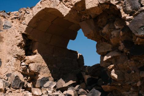
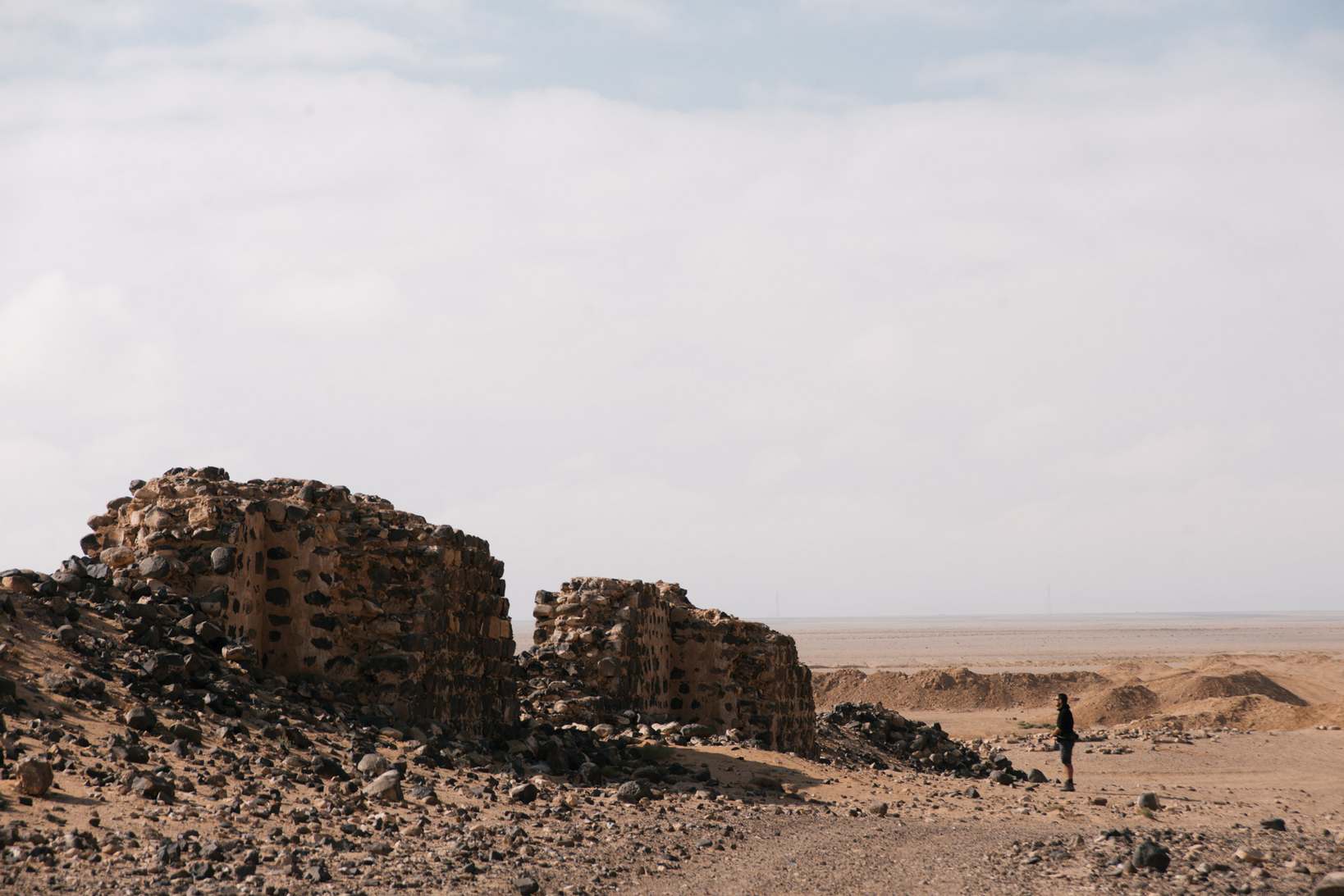
The walls of the fort form a rhombus measuring 102.20 x 99.15 x 99.75 x 101.10 m. The building material (or at least limestone) could have come from the quarry in Wadi al-Muqta'a, discovered in the 1990s, located about 7.5 km north of the fort1. Fortifications are maximum 2.25m thick. Rudolph Brünnow and Alfred von Domaszewski2 reportedthat the sidewalk at the top of the walls was 4.70 m high (Pictures of the fort taken by Brünnow and von Domaszewski can be viewed on the Princeton University archive site). On this basis, it can be concluded that their total height was about 5 m. Fourteen towers were incorporated into the perimeter of the walls. They were probably two-storey, but it is difficult to resolve this, because they are less well preserved than the walls themselves. This is probably due to the construction technique - the walls of the towers are twice as thin as the walls themselves3. Towers differ significantly in size.The largest, eastern one, has dimensions of 8.80 x 8.50 m, while the smallest one (the interval tower north of the south-eastern gate) has barely 4.80 m. It is estimated that they were about 2.35 m above the walls and the interval between them is between 22.5 and 25 m. In this respect, however, the southeast wall stands out, where instead of two towers, there are four smaller ones, and the interval between them is about 13 m3.
A sequence of one- and two-chamber rooms adjoined the inner facade of the walls. They are sometimes interpreted in literature as the remains of stables4. They are separated from the rest of the fort's buildings by a circular communication route.
The interior of the fort was divided into two parts by a central communication route connecting the two main gates of the fort - via principalis (on the SE-NW axis). The south-western part consisted of a series of double-chamber barracks. The similarly looking north-eastern part was disturbed by the presence of principia (i.e., the camp's headquarters). In the northeastern part of the main communication route, there was a large rectangular water cistern measuring 12.8 x 5.5 m, which was originally covered with a vault.
Outside the walls, south of the southern corner, there was a water reservoir of 40 m2. 2,3 In Kennedy's aerial photographs it seems to be more rectangular than Brünnow and von Domaszewski presented it. It is possible that it is the result of modern modifications.1 Archaeological verification may not be possible at this point in time due to the construction work carried out there in recent years, which resulted in the construction of a new reservoir.
Outside the walls there are also two other structures. More to the east there is an oval structure with a diameter of about 9.5 m, which has not been explored so far. On the basis of Parker's observations, it can be a remnant of a lime kiln or an iron smelting furnace. The second of these structures - located southeast of the fort - is rectangular (10.41 x 7.48 m). During the excavations carried out by the Limes Arabicus Project, the foundations of three embers and several storage rooms were discovered, which operated at the same time as the fort.1
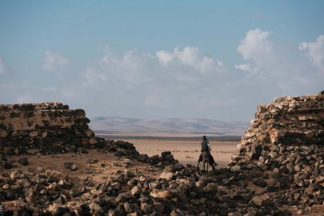
It is worth adding that within a radius of a dozen or so kilometres from the fort there are remains of four towers on nearby hills (see map on the right). We visited two of them in 2018. The results of the surface research to date indicate that at least two of them were still formed during the Iron Age, and were restored and incorporated into the defensive system in the Late Roman period.5
History of research
Dajaniya has been visited by many researchers and travellers in the past. From a scientific point of view, the earliest of them were Rudolph Brünnow and Alfred von Domaszewski,2 who made the first plan of the fort and published it in 1905. Peter Thomsen's6 work on milestones and roads in the region was also important for research on the area. It is still one of the foundations for the reconstruction of the local Roman road network. Nelson Glueck also published his observations on the fort and the surrounding area in two publications.7,8 The next visits, which resulted in scientific publications, had to wait until the 1980s. First Philip W. Freeman9 wrote about the site, and then David Kennedy and Derrick Riley in their publications on aerial exploration of Jordanian antiquities.4 Further research was conducted under the direction of S. Thomas Parker, which he first published in Romans and Saracens,10 and then in subsequent reports on the results of The Limes Arabicus Project.1,11,12 Dajaniya was also visited by George Findlater13 as part of his research on the Limes Arabicus and its role in the defensive system of the Roman Empire. The last research project before us was carried out by John Rucker,5 who focused on exploring the immediate vicinity of the fort. He mapped all the sites within 5 km of the fort and determined their initial chronology based on surface-collected material.
The Limes Arabicus Project
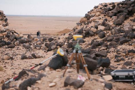
The most serious archaeological research of the Dajaniya fort took place in 1989 under the Limes Arabicus Project. Seven trial trenches were opened at that time (the picture on the right shows the remains of a survey trench made as part of the aedes principorum). The archaeological work to date did not allow for an unambiguous dating of the moment of the founding of the fort. Among the material collected on the surface, which was dominated by fragments of late Roman and early Byzantine pottery (after the beginning of the 6th century), there was also a ceramic material with an earlier chronology, dating from the beginning of the 2nd century A.D.10. The presence of early Roman pottery indicates some kind of activity in the area. Brünnow and von Domaszewski2 considered Dajaniya to be a fort from the second century AD. So far, however, it has not been possible to find any architectural structures that could be associated with such an early presence of Roman troops in this place. James Lander14 acknowledged that the plan of the fort showed transitional features between the plans of the early and late Roman camps and, comparing it with the fort in Ain Sinu, defined its construction for the Severn era, i.e., the turn of the second and third centuries A.D. Not everyone agrees with this interpretation. The closest analogy, according to Shelagh Gregory,3 is the fourth-century fort in Umm el-Jimal, discovered in 1981, located on the Jordanian-Syrian border, which has similar dimensions and internal irregularities. Kennedy and Riley also share a similar opinion.4 Most scientists believe that the fort in Dajaniya should be combined with the reorganization of the border undertaken in the Diocletian times at the turn of the third and fourth century. At that time, many Moabite and Nabatean observation towers were planted with Roman troops and a number of new forts were built east of via nova Traiana.5
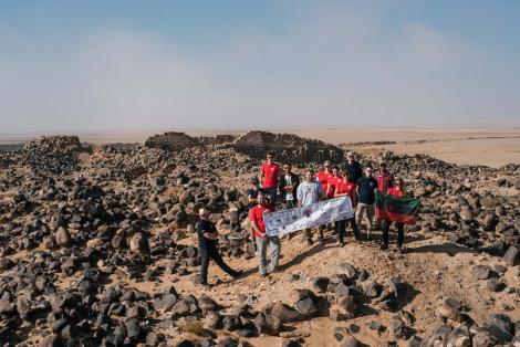
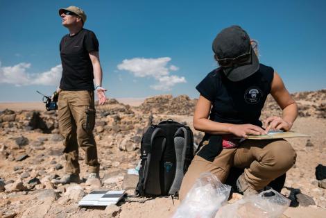
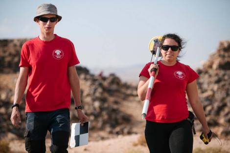
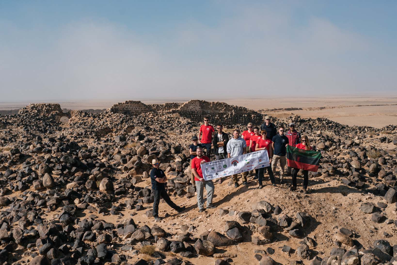
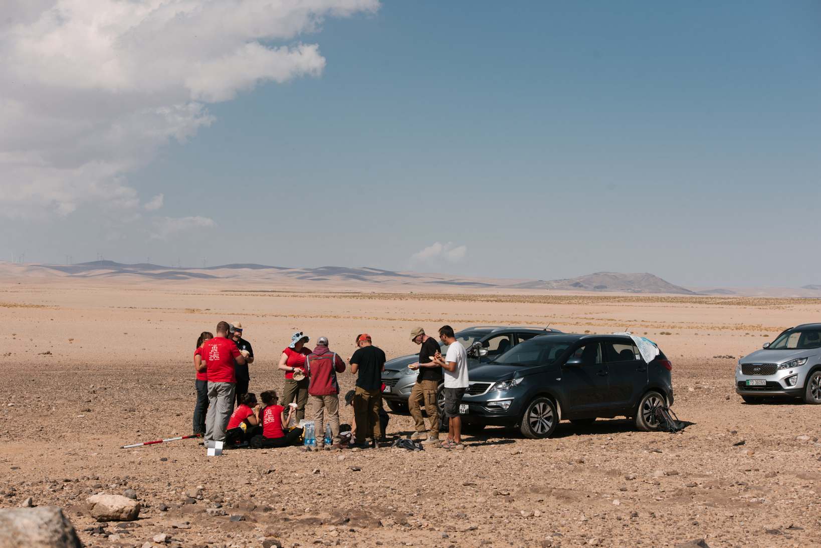
Our works
201815
Goals
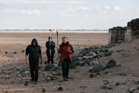
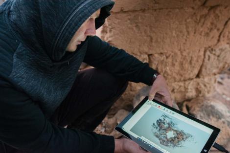
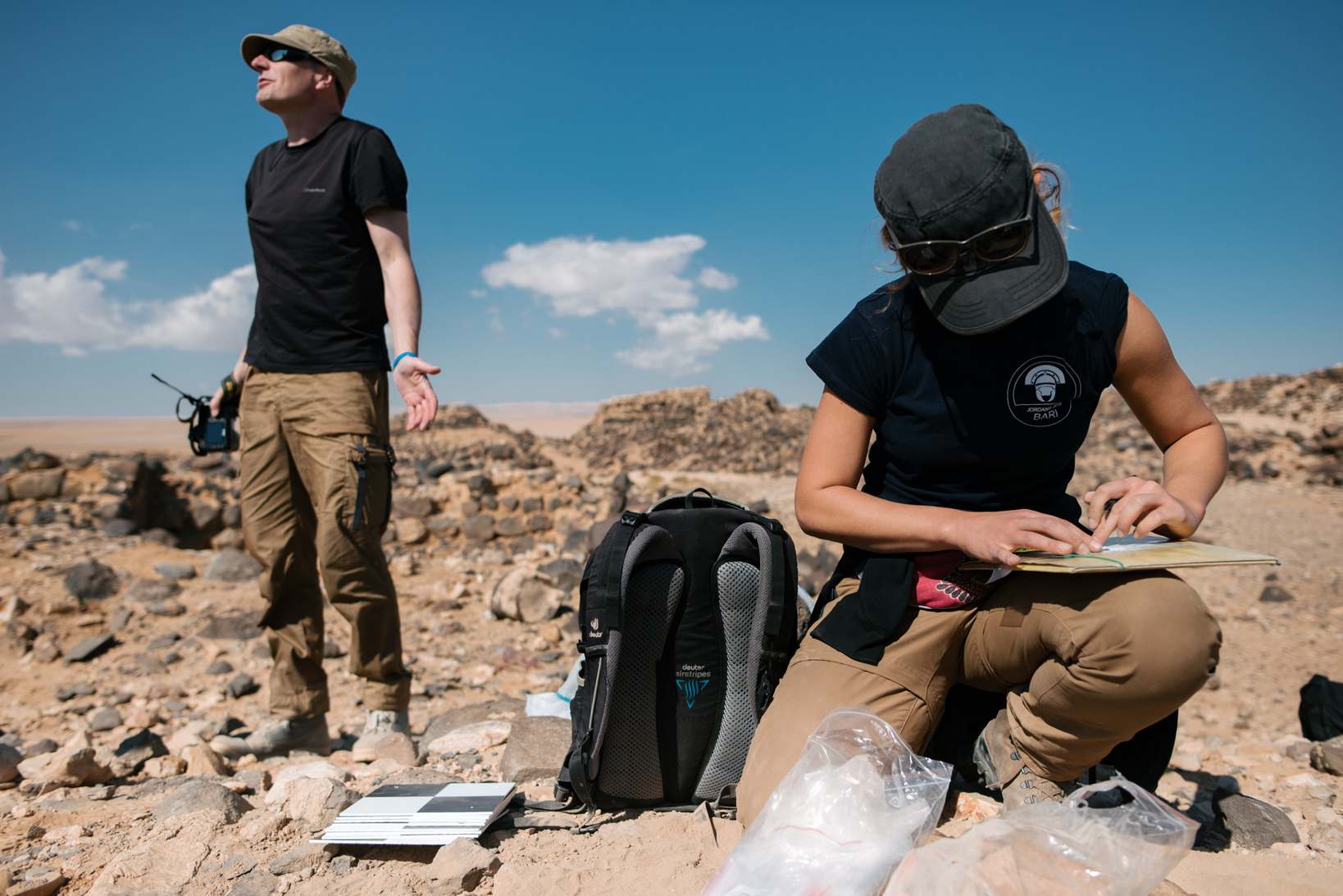
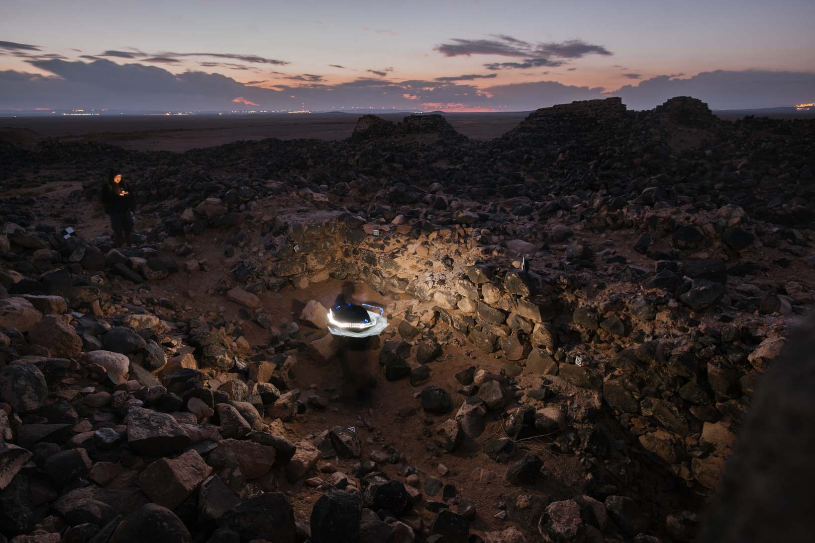
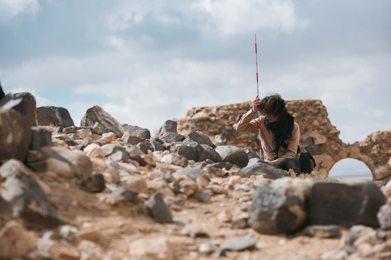
The main objective of the works undertaken in the 2018 season was to create full 3D documentation of architectural remains. Due to the inability to use drones, we decided to use a combination of ultra-low altitude photogrammetry (ULAPh) and laser scanning. In order to verify the chronology of the site, we also conducted a surface prospection. Additionally, we made documentation of robbery pits located just outside the fort's walls. Using a spherical camera we also decided to create a virtual tour of the site.
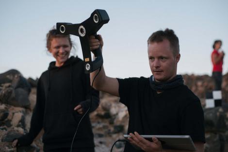
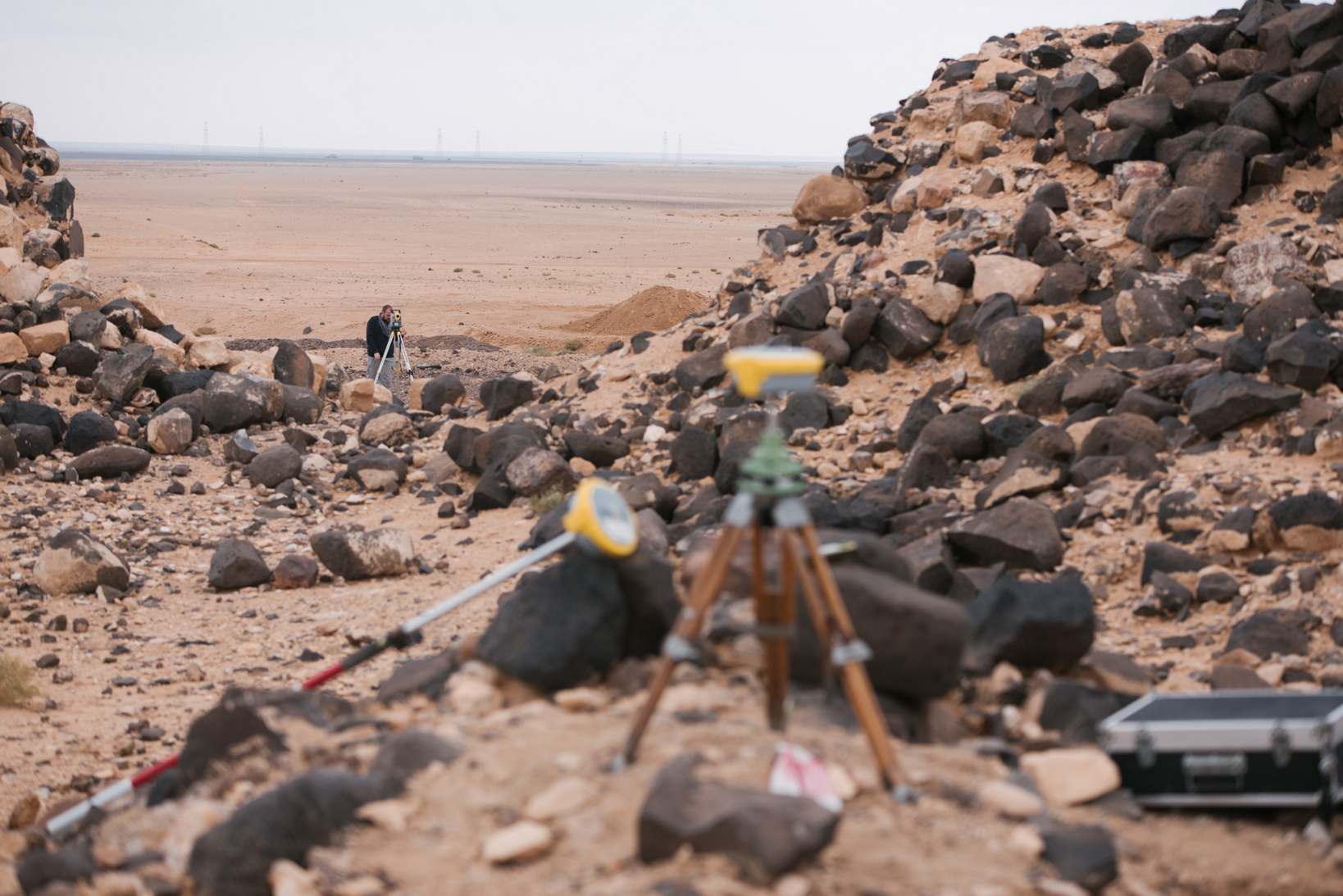
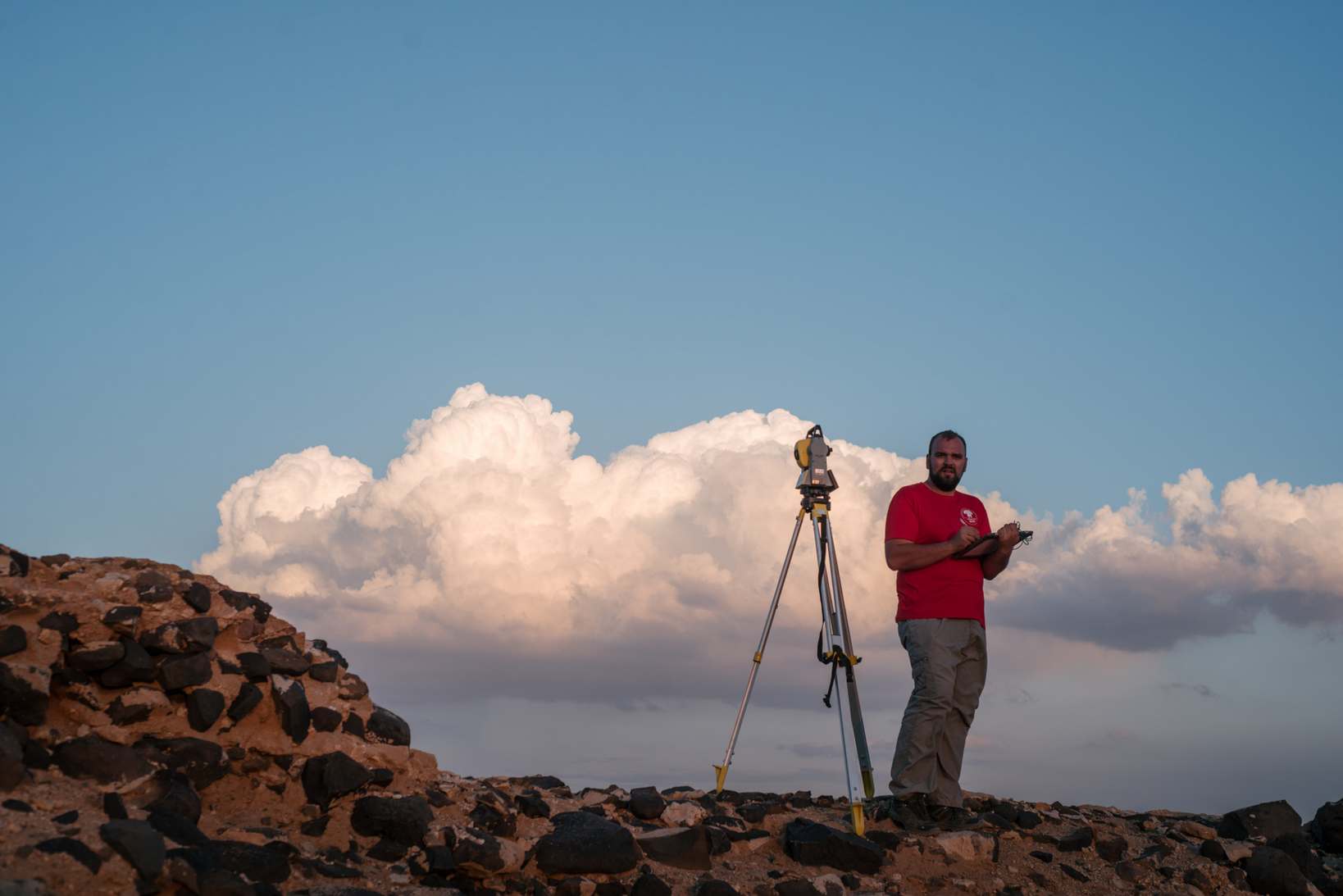
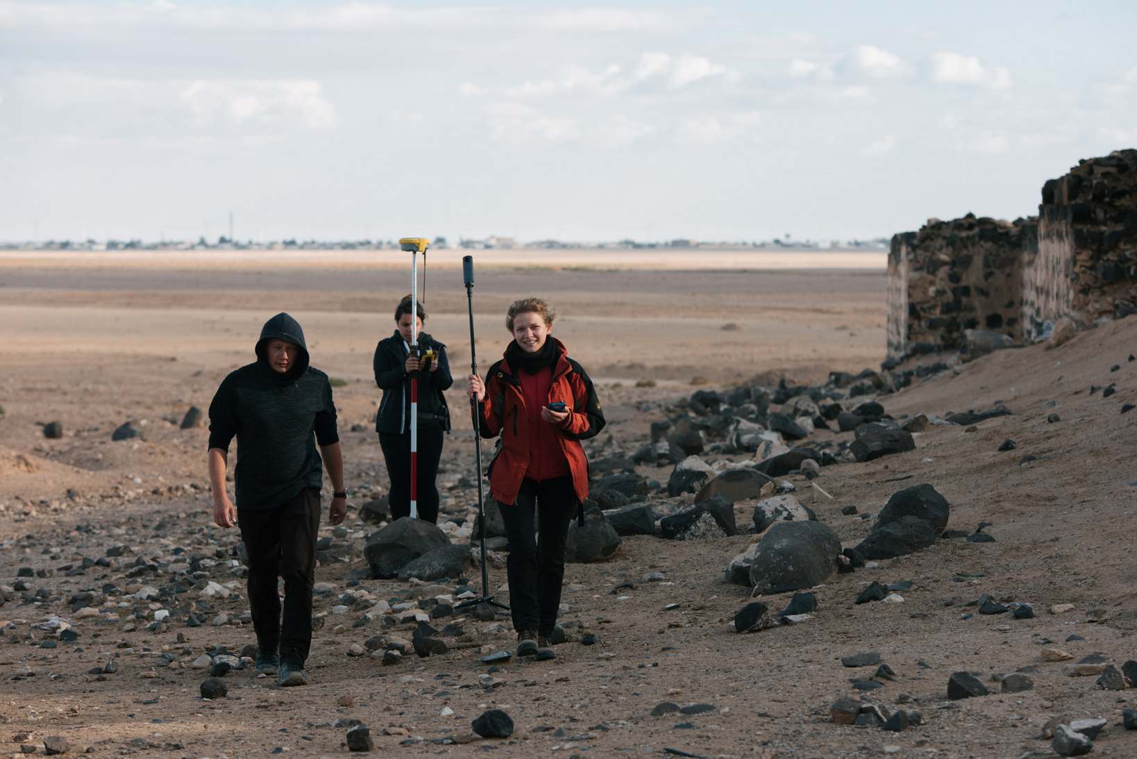
Site's plan and 3D modelThe documentation of architectural archaeological remains was prepared using Ultra-Low Altitude Photogrammetry (ULAPh), laser scanning and close-range photogrammetry. All documentary work was performed in connection with the control network established within the site. In the course of geodetic measurements we managed to confirm both the accuracy and usefulness of the RTX GNSS method for carrying out documentary measurements of archaeological sites by performing tests on a field base consisting of 40 points.
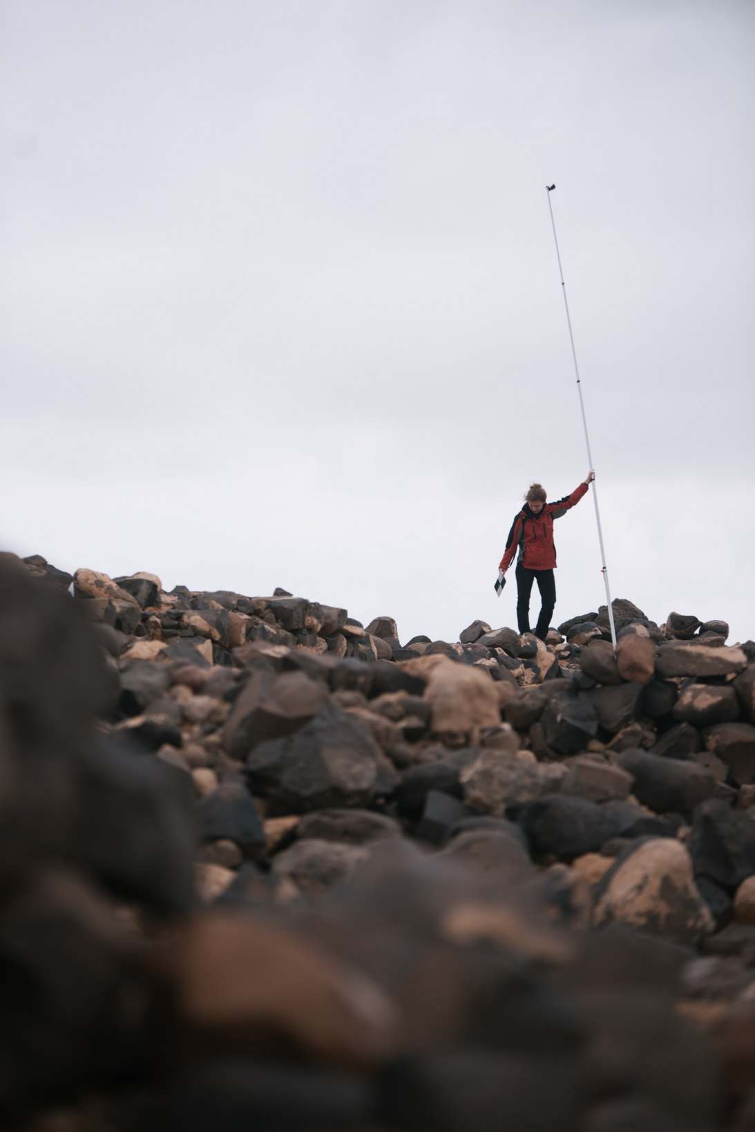
The photogrammetric data that were used to create the orthophotomosaic and DSM model of the entire site were obtained using the GoPro HERO 6 Black sports camera with a wide-angle lens mounted on a five-meter pole. The photos were taken at the previously designated measuring stations, which formed a grid with a mesh size of about 5 m x 5 m. At each station, 8 diagonal pictures were taken in eight directions. In total, 4000 photos were taken at 500 stations. Thanks to this, we were able to generate an orthophotomosaic with a resolution of 4mm and a height model of the terrain with a resolution of 16mm of an area of 1.7 ha (see illustration below).
As part of the documentation work carried out, we performed a full 3D scan of the external facades of the fort's walls, supplemented by a scan of the internal facades of the south-western (see picture below) and north-western wall. Additionally, we scanned the T.1, T.2 and T.3 test trenches made under the Limes Arabicus Project. For measurements we used the Faro Focus M70 terrestrial laser scanner. The final product, which has an accuracy of 2 cm, is a high-resolution point cloud representing all architectural remains in Dajaniya.
In order to compare different measurement methods used in the documentation of archaeological sites, we also made 3D models of the fort's walls and three survey trenches using the short-range photogrammetry. During the field work 1440 photographs were obtained. The final result were models of the measured objects with an accuracy of no less than 7 mm.
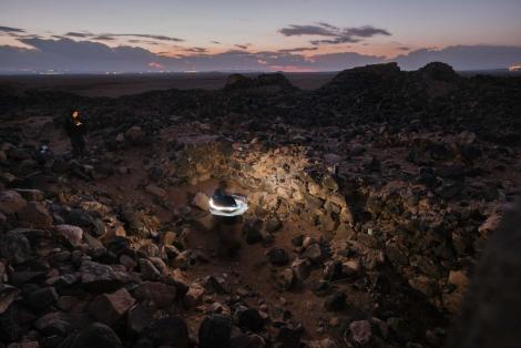
The Faro Freestyle 3D handheld scanner was also used to take inventory measurements. It is a device whose principle of operation is based on taking and processing photos in real time. The result of the measurements is a point cloud generated in situ. This method inventoried the T.1 probe trench and a small gate in the south-west wall of the fort.
Documentation of robbery pitsWith the use of short-range photogrammetry we have created three-dimensional documentation of 7 robbery pits. For each object we took from 50 to 200 photos, from which we generated point clouds, orthophotomosaics and DSMs. An example of the final product can be seen below.
Virtual tour
In order to allow a wider audience access to Dajaniya's site during the research, we made a virtual tour of the fort. The works were carried out on the ViarLive portal. To create the tour, 33 spherical photographs were taken with a Ricoh Theta SC camera. The photos cover the entire area of the site and allow viewers to see not only the remains of the fort's walls and gates, but also the interior of the fort, including the principia (camp's headquarters), aedes principiorum (the camp's chapel where the unit's battle signs were stored), a cistern, via principalis (the main communication axis running through the middle of the fort) or via sagularis (a circular "street" running along the inner facade of the wall).
Plans for the future
At the moment, we do not plan to carry out any further work to the fort, in order to focus on the study of the remains of Tuwaneh.
Literature
1 Godwin V.L. The castellum of Dacjāniya (Area T). In: S.T. Parker (ed.), "The Roman frontier in Central Jordan. Final report on the Limes Arabicus Project 1980– 1989", Vol. I, Dumbarton Oaks Studies 40. Washington, D.C., 2006, 275–287.
2 Brünnow R.E., von Domaszewski A. Die Provincia Arabia: Auf Grund zweier in den Jahren 1897 und 1898 ünternommenen Reisen und der Berichte früherer Reisender. Zweiter Band. Verlag von Karl J. Trübner, Strassburg 1905.
3 Gregory Sh. Roman Military Architecture on the Eastern Frontier, Vol. 1. Adolf M. Hakkert: Amsterdam 1996.
4 Kennedy D., Riley D. Romes Desert Frontiers from the Air. B. T. Batsford Limited: London 1990.
5 Rucker J. A Diocletianic Roman Castellum of the Limes Arabicus in Its Local Context: A Final Report of the 2001 Da’janiya Survey. MA Thesis, University of Missouri-Columbia, 2007.
6 Thomsen P. Die römischen Meilesteine der Provinzen Syria, Arabia und Palaestina. "Zeitschrift des Deutschen Palästina-Vereins" 1917, 40 (1/2), 1-103.
7 Glueck N. Explorations in Eastern Palestine, II. "The Annual of the American Schools of Oriental Research" 1935, 15, 1–113.
8 Glueck, N. The Other Side of the Jordan. The American School of Oriental Research: New Haven 1940.
9 Freeman P.W. Recent Work on a Roman Fort in South Jordan. In: Vetters H., Kandler M. (eds) "Akten Des 14. Internationalen Limeskongresses 1986 in Carnuntum", Verlag der Österreichischen Akademie der Wissenschaften: Wien 1990, 179–91.
10 Parker S.T. Romans and Saracens: A History of the Arabian Frontier. American Schools of Oriental Research: Philadelphia 1986.
11 Parker S.T. Archaeological Survey of the Limes Arabicus: A Preliminary Report. "Annual of the Department of Antiquities of Jordan" 1976, 21, 19–31.
12 Parker S.T. The Roman Frontier in Central Jordan. Interim Report on the Limes Arabicus Project 1980-1985, Part 1. BAR: Oxford 1987.
13 Findlater G. Limes Arabicus, via Militaris and Resource Control in Southern Jordan. In: Freeman P., Bennett J., Fiema Z.T., Hoffmann B. (eds) "Limes XVIII : Proceedings of the XVIIIth International Congress of Roman Frontier Studies, Held in Amman, Jordan (September 2000)", BAR: Oxford 2002, 137–153.
14 Lander J. Roman Stone Fortifications: Variation and Change from the First Century AD to the Fourth. BAR: Oxford 1984.
15 Bodzek J., Kopij K., Miszk Ł., Ćwiąkała P., Puniach E., Kajzer M., Ochałek A., Mrocheń D., Słodowska A., Sawicka K., Widuch K., Dec H., Bernaś M., Ruchała J., Cierplich P., Maniak G., Mielczarek D. Results of "Archaeological Study of Dajaniya & Tuwaneh" (ArTu: DTu) 2018 survey of Dajaniya (Ma’an-Husseiniyeh), Southern Jordan. In: P. Kołodziejczyk (ed.) "Discovering Edom: Polish archaeological activity in southern Jordan, Profil-Archeo: Kraków 2019, 51-67, doi: 10.33547/discedom2019.03