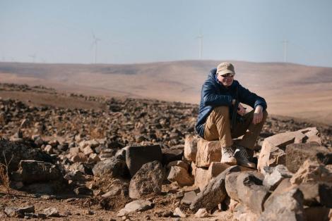
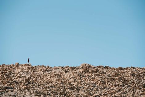
Tuwaneh is an ancient town inhabited in the Nabatean, Roman and Byzantine periods, which is located in the Tafila-Hesa district. We have been conducting research there since the autumn of 2018.
Site's description
History of research
Our research
Our research: 2018
Our research: 2019
Literature
Introduction
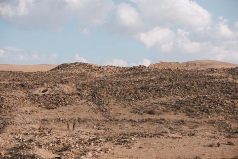
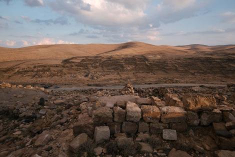
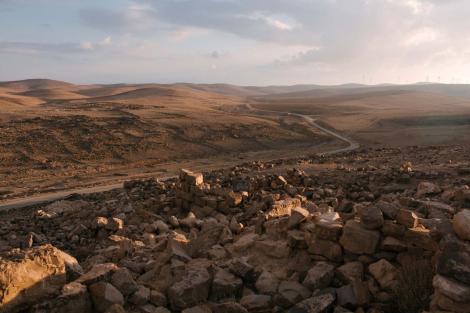
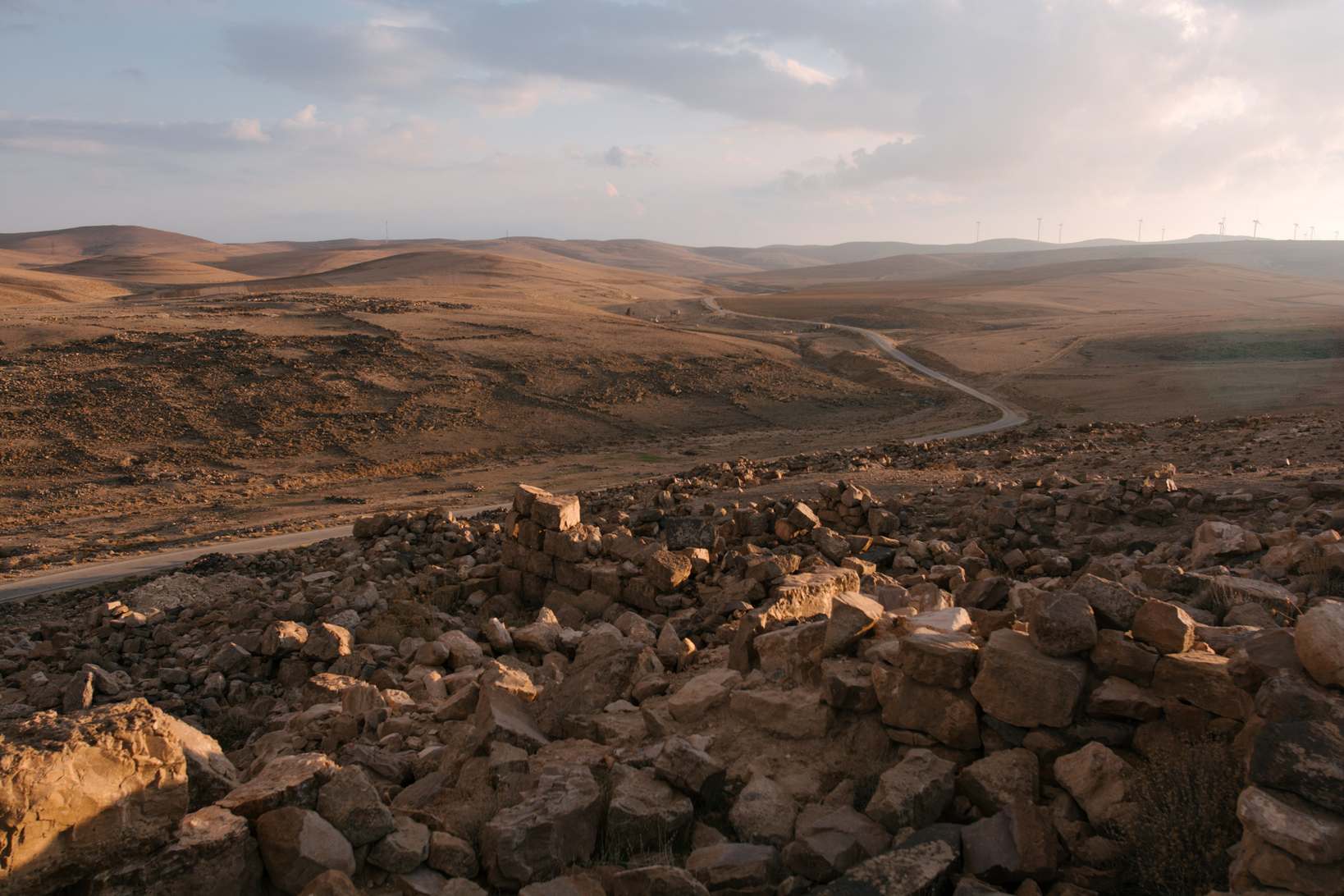
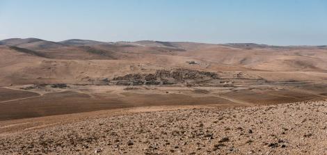
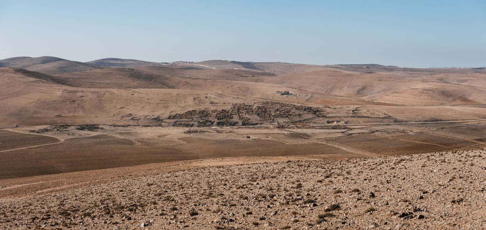
Tuwaneh is the site of an ancient town that is identified with Thana/Thoana of Ptolemy (V.17) and Thornia of the Tabula Peutingeriana. Tuwaneh is located on Via Nova Traiana, the most important road in Roman Arabia, about 5 km south of the modern highway between Tafila and Jurf ad-Darawish. The site includes two hills divided by a wadi.
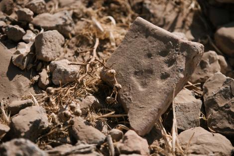
The area occupied by the site could have been inhabited already in the Iron Age, as attested by the ceramic material dated to that period.However, its low number indicates that the main settlement phase is in Tuwaneh in the Nabatean, Roman and Byzantine periods. This was the result of a trade route running through the town, connecting among others Petra and Syria.1 A significant share of high quality ceramic material from the Roman and Byzantine periods, as well as the presence of monumental architecture, testify to the wealth of the settlement's inhabitants.1,2 The small share of early Islamic material and the lack of mention in Arabic sources indicate that the site lost its importance in the late Byzantine period2. The site may have been partially inhabited in the Ayyubid and Mamluk periods, as evidenced by fragments of vessels from that period found on the surface.1,2,3
Site's description
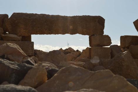
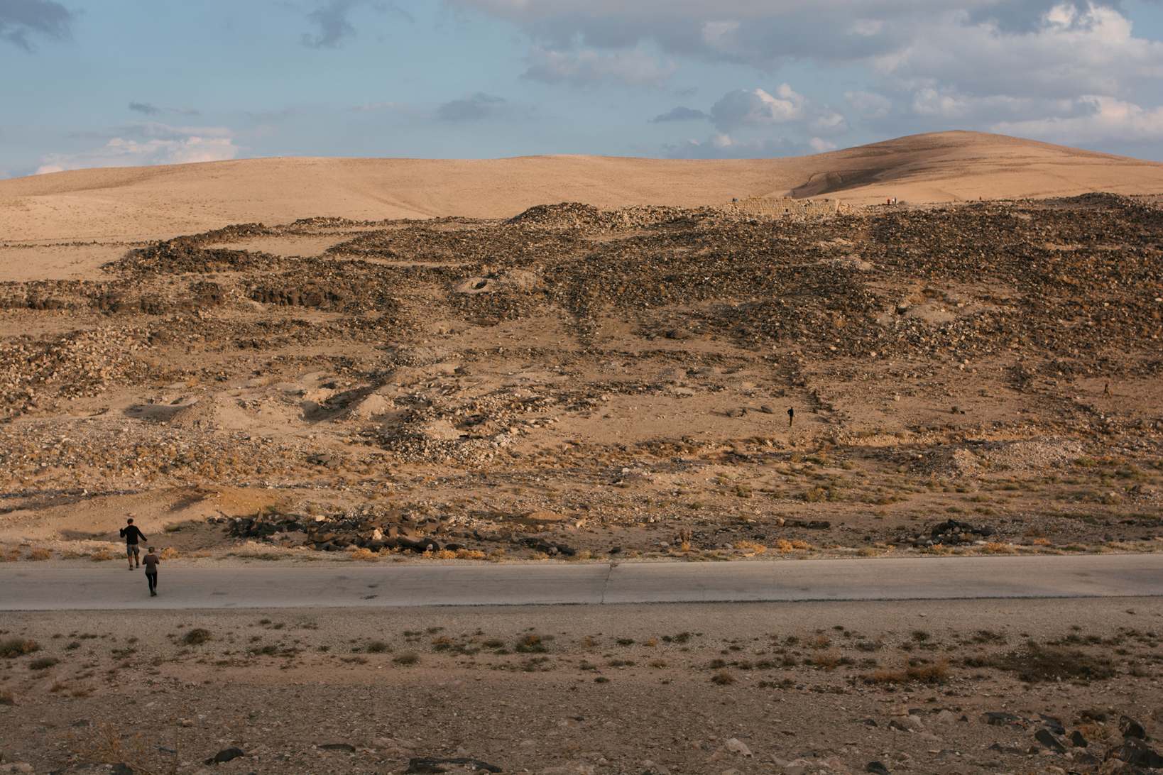
The settlement is mainly focused on the slopes of the hills facing the wadi and their peaks. On the southeastern hill the preserved buildings are of a more monumental character, which is probably a result of commercial and representative functions. On the north-western hill, the buildings are looser, less monumental, probably residential1.
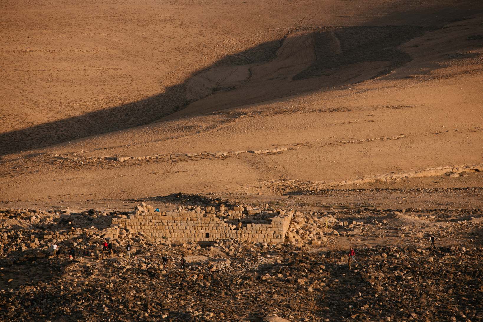
The southeastern hill is dominated by a monumental structure, declared a Nabatean temple by Rudolf Brünnow and Alfred von Domaszewski.4 However, the architectural analysis carried out during the Via Nova Traiana Project indicates that it was unlikely to have had religious functions.1 As a result, Fiema agrees with Hart,5 who considered the building to be a caravanserai. Findings related to this structure indicate its functioning from the Nabatean to Mamluk periods with significant intensification in Roman-Byzantine times.1,2 To the east of this building, remnants of graves were found, which may indicate that there was a cemetery used by the inhabitants of the settlement.
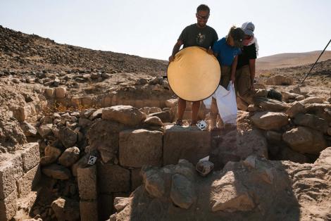
Another distinctive structure is the remains of the bathhouse (photo on the right), already registered by Fiema2. Particularly noteworthy is the large number of fragments of the so-called tubuli, i.e. characteristic ceramic "pipes" of rectangular cross-section, used in the construction of Roman baths for heating walls.
Also noticeable are the remains of a large size tunnel running from the top of the south-eastern hill to the bottom of the wadi, that probably served as a storm drain.
History of research
Tuwaneh was visited and described by numerous researchers and travelers. Among the most important are Brünnow and von Domaszewski,4 (Photos of the site taken by Brünnow and von Domaszewski can be viewed at the Princeton University archive site), Alois Musil,6 Nelson Glueck,7 S. Hart,5 Robert Wenning8 and Avraham Negev.9 From March to May 1992, Tuwaneh was covered by the Via Nova Traiana Project led by Zbigniew Fiema from the Univeristy of Helsinki, that involved surface survey1,2. In a similar scope, the site was also surveyed in 2000-2001 as part of The Tafila-Busayra Archaeological Survey.3
Our research
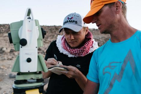
The main aim of our research is to recognize the spatial layout and identify the phases of town use based mainly on non-invasive methods. Moreover, our intention is also to establish stratigraphy, and thus a more detailed chronology of the site, on the basis of surface surveys, with particular emphasis on robbery pits and their waste piles, and in the future also wide-range excavations.
Our goals
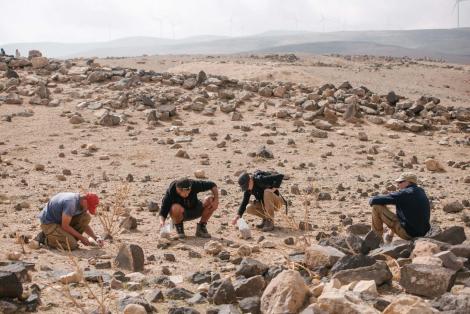
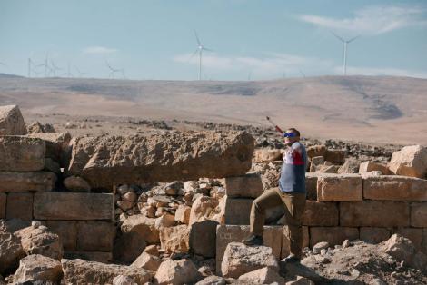
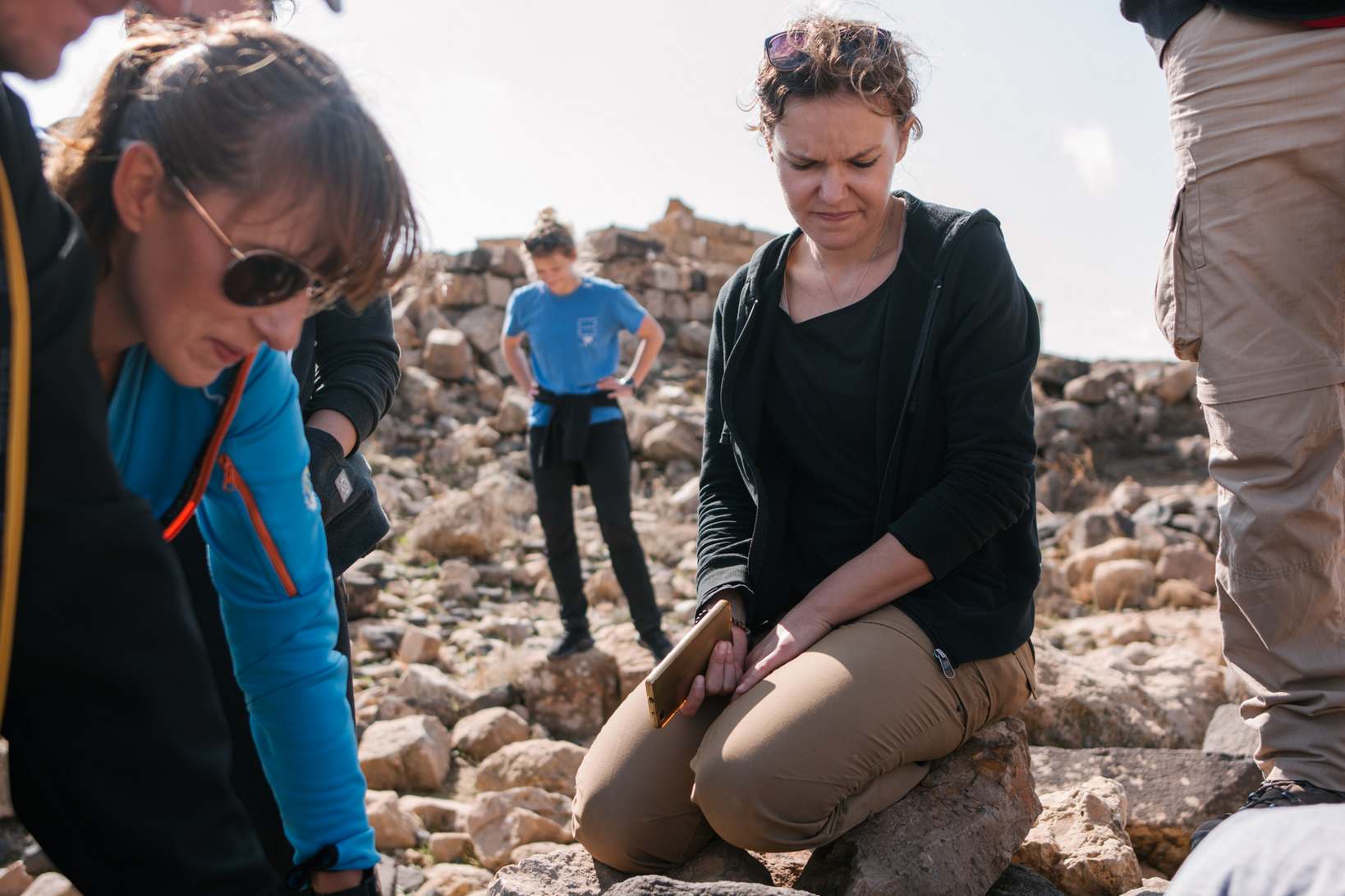
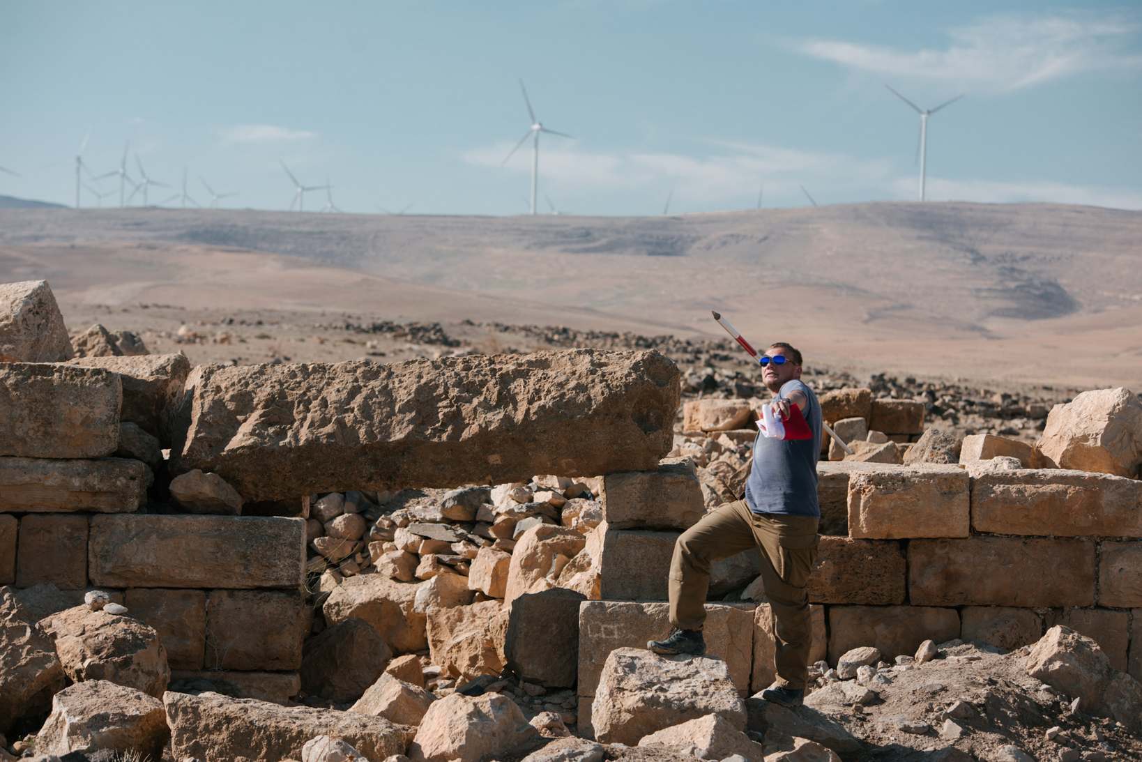
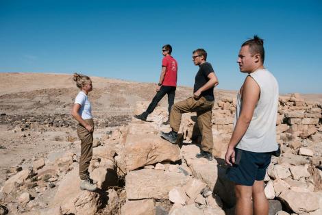
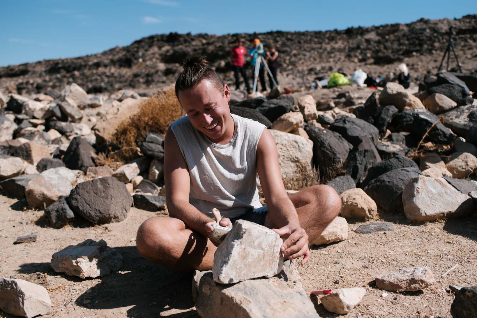
Due to the short duration of the research and limited human resources, we decided to start creating a site plan and documenting the visible remnants of the buildings by registering some of the town' key points located on the south-eastern hill. First of all, we carried out works covering the area of the "caravanseraij" and its immediate vicinity. This is the best preserved building at the site, hence determining its function and chronology will be crucial for understanding both the nature of the hill it is located on and the functioning of the town as a whole. The second area we investigated was the area around the baths. This was due not only to the fact that it is a distinctive, well-preserved architectural structure, but above all to the fact that it was systematically destroyed by robbers.11 Both research areas were also covered by the surface survey. A similar motivation made us decide to document the visible fragments of the storm channel, located directly north of the baths, leading from the top of the hill to wadi. Our curiosity was also sparked by an unidentified rectangular structure north of the visible buildings at the top of the hill, which we also documented. In addition, we began the process of documenting and mapping the robbery trenches, starting from those located at the top of the southeastern hill near the carawanserai.
Surface prospection
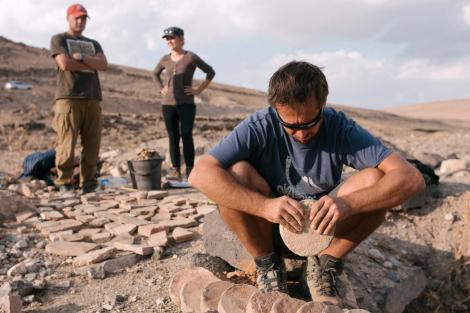
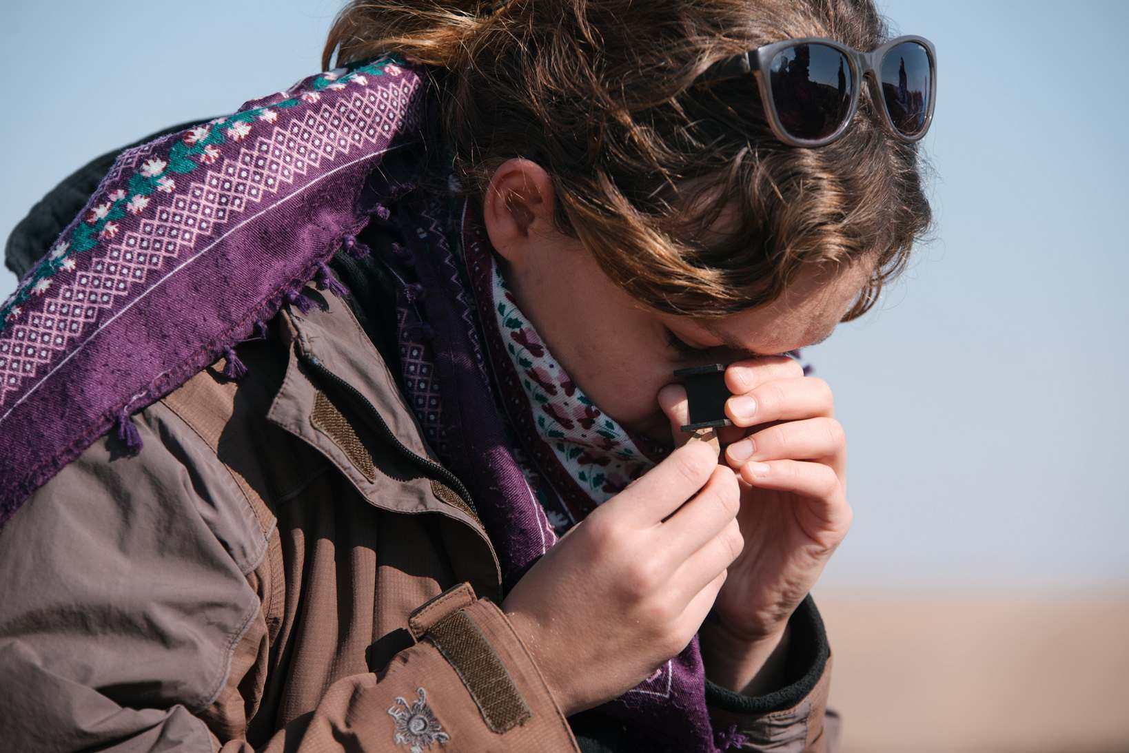
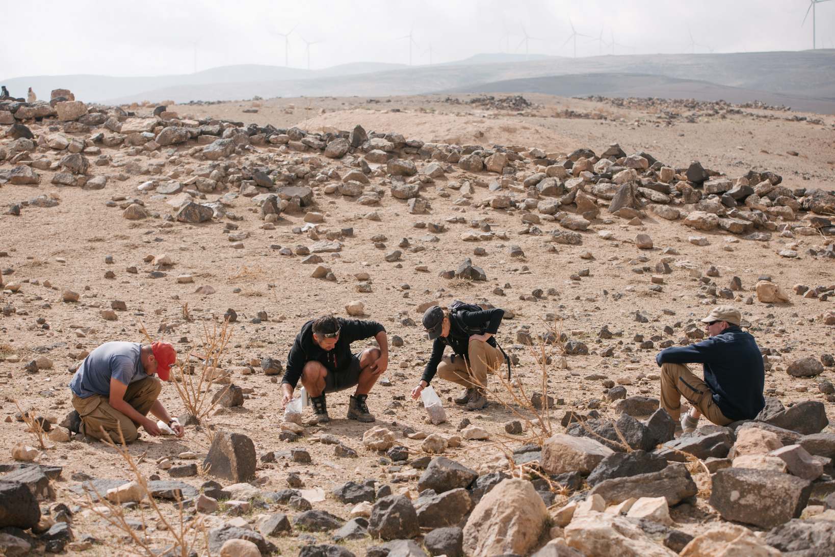
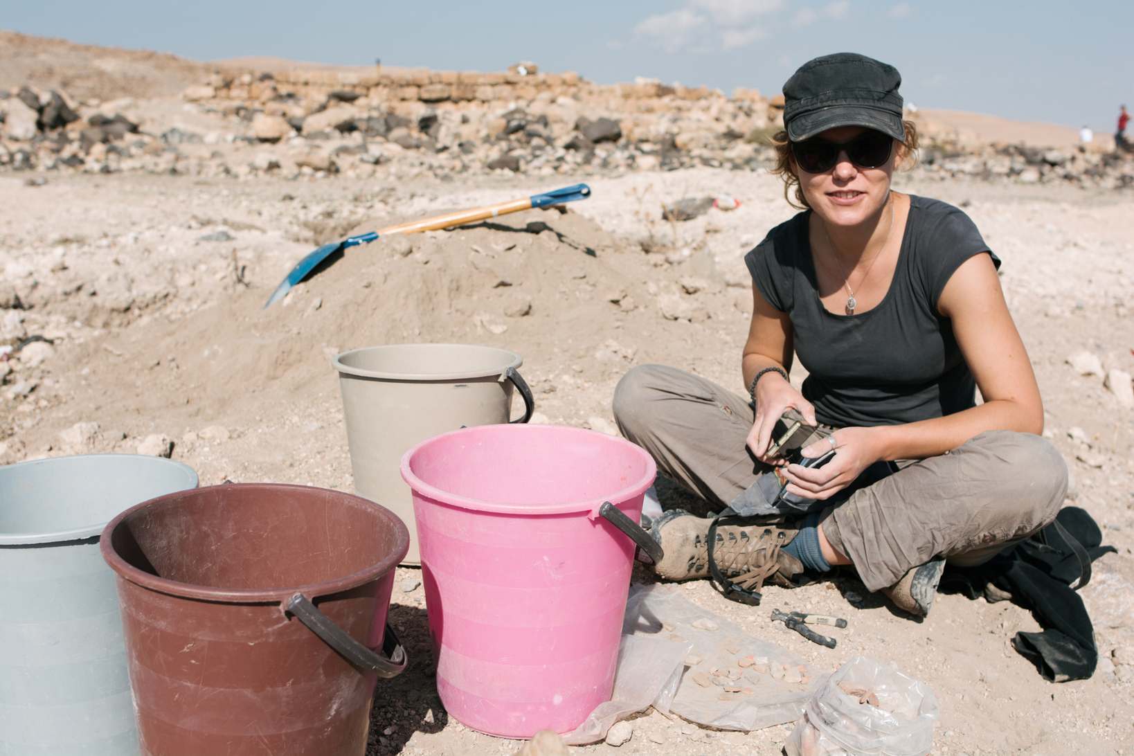
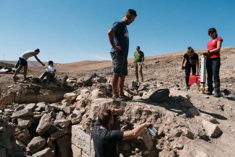
In the 2018 season, we carried out a surface survey in the central part of the site, covering the caravansrai complex and its immediate vicinity. In addition, we conducted surface survey of the baths. We also collected surface material from some of robbery pits and waste piles generated as a result of their exploration.
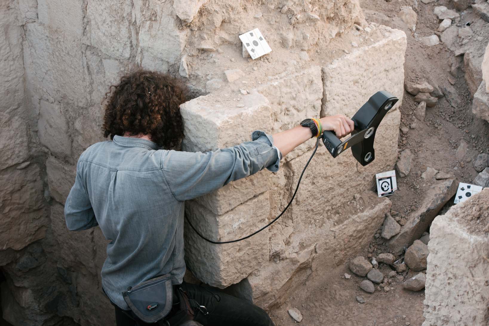
Recording of architectural remains
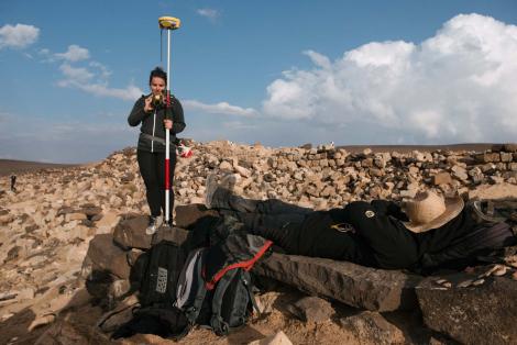
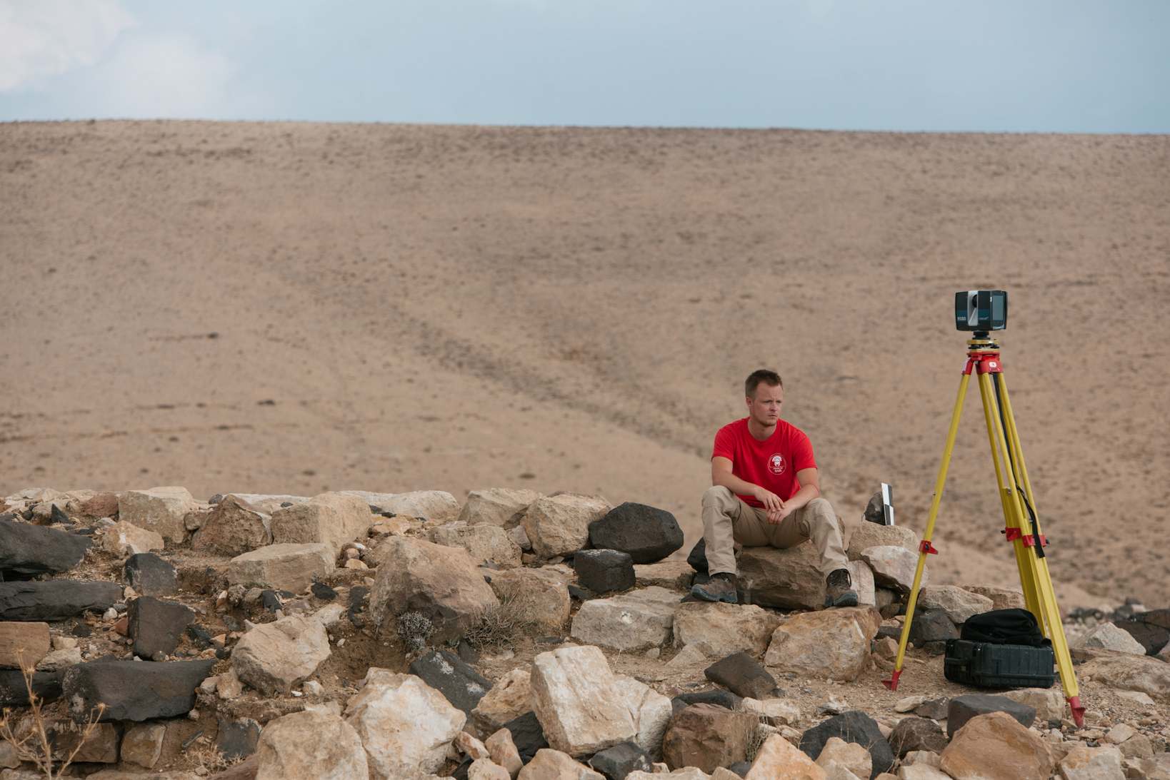
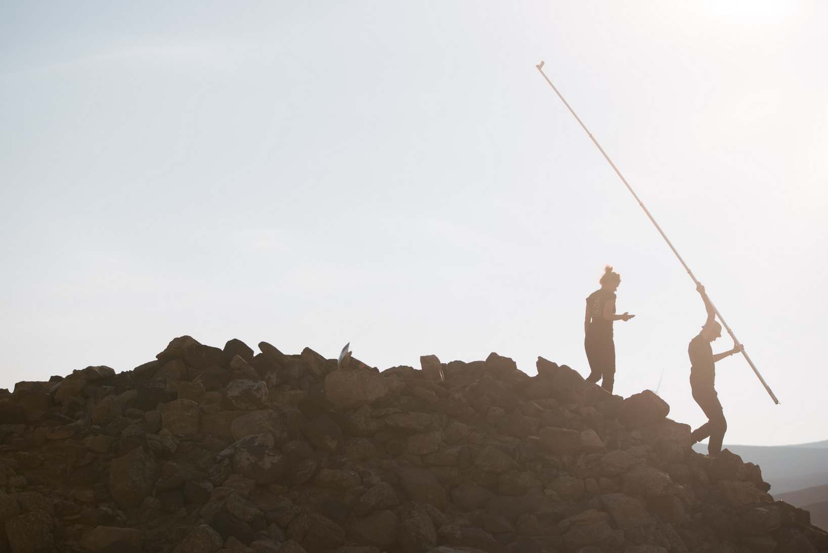
As we could not use UAV-based photogrammetry, which is nowadays the basic tool to record the remains of buildings in a larger area, we were forced to use an alternative method of photogrammetric documentation. This method was Ultra-Low Altitude Photogrammetry (ULAPh) which requires a relatively simple measuring system, composed of an action camera mounted on a five-meter long leveling rod. In this way we were able to document, among other things, the area of the so-called "carawanserai" with adjacent areas (orthophotomosaic and digital surface model below).
Documentation of robbery pits
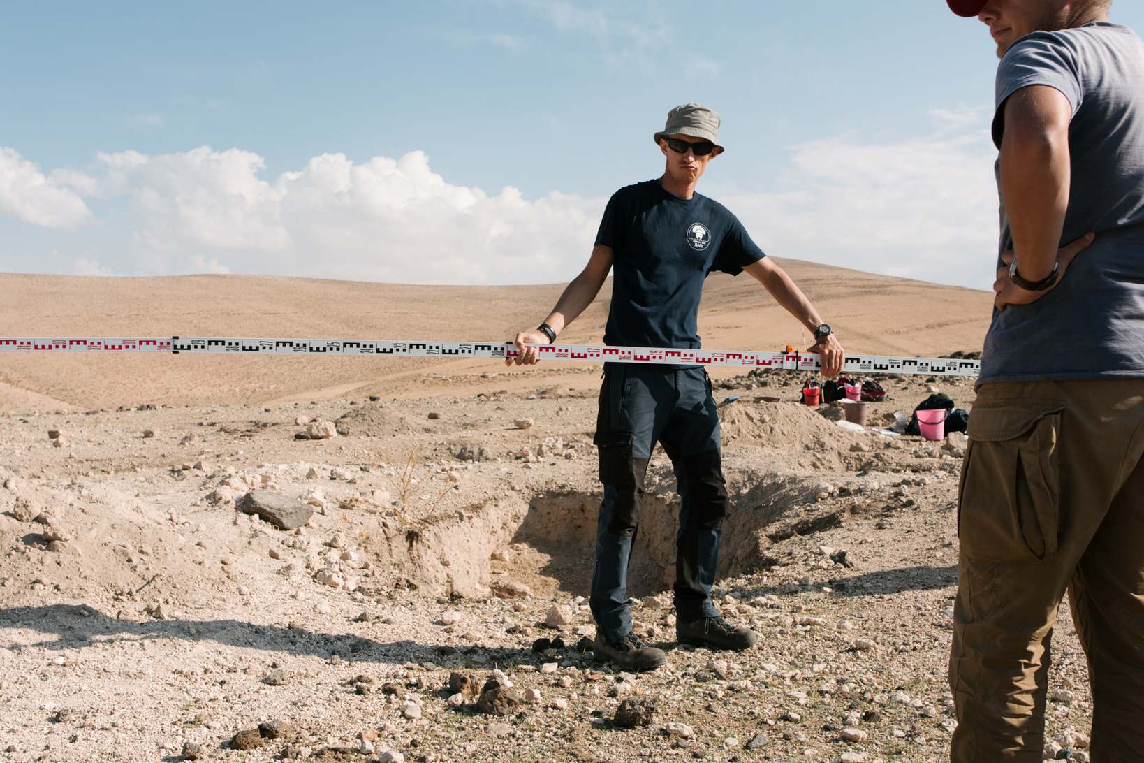
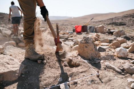
During our work we registered over 150 robbery trenches located in the central part of the south-eastern hill. Each trench received its inventory number, was measured and photographed.
2019 season
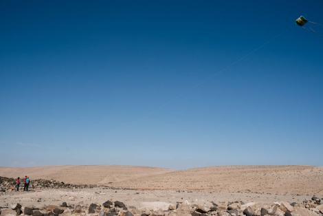
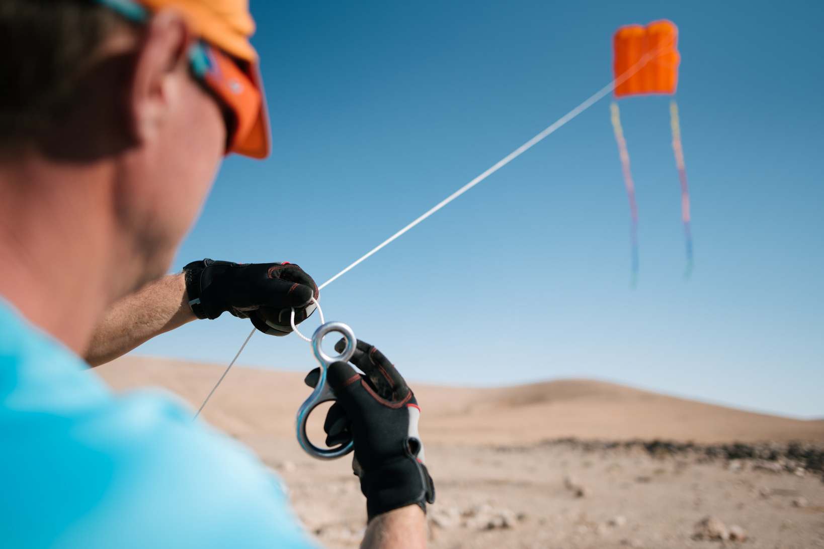
After the experience of the previous season, in autumn 2019, we decided to change the methodology of mapping the site and tested the possibility of taking pictures from the kite.
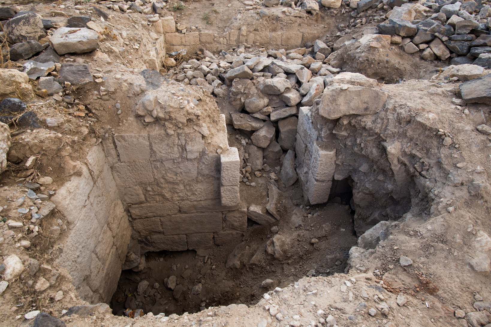
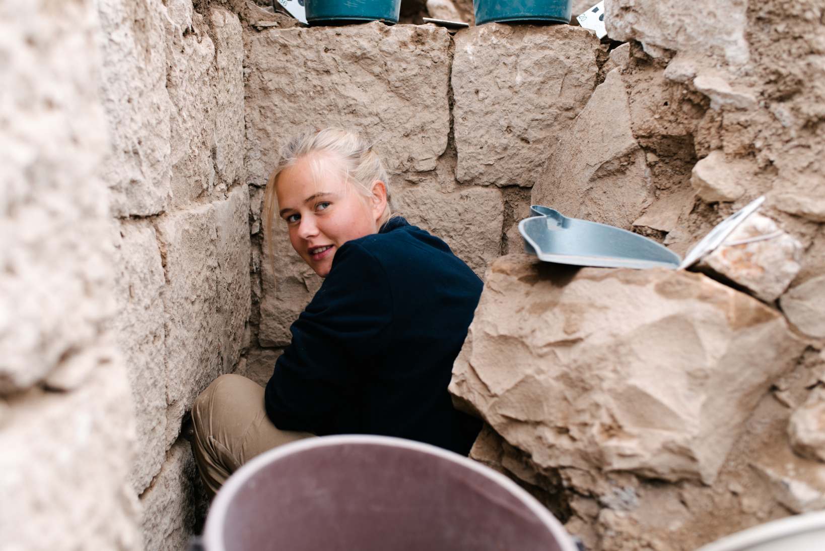
It was also the first time we stuck a shovel in the ground! We started our excavations with three small test trenches in the baths. The first one very quickly turned out to be a fiasco, as we hit the old robbery pit. In the next two we were luckier. In them we recorded intact archaeological layers including the remains of the hypocaust system, i.e. the heating system used in Roman baths and richer private houses.
Literature
1 Fiema Z.T. At-Tuwana - the Development and Decline of a Classical Town in Southern Jordan (with a Note on the Site Preservation). In: G. Bisheh (ed.), Studies in the History and Archaeology of Jordan VI, 1997, 313–316.
2 Fiema Z.T. Tuwaneh and the via Nova Traiana in Southern Jordan: A Short Notice on the 1992 Season. "Annual of the Department of Antiquities of Jordan" 1993, 37, 549–550.
3 MacDonald B., Herr L., Neeley M.P., Quaintance S., Broadshaw A. The Tafila-Busayra Archaeological Survey 1999-2001, West-Central Jordan. American Schools of Oriental Research: Boston 2004.
4 Brünnow R.E., and von Domaszewski A. Die Provincia Arabia : Auf Grund Zweier in Den Jahren 1897 Und 1898 Ünternommenen Reisen Und Der Berichte Früherer Reisender. Zweiter Band. Verlag von Karl J. Trübner: Strassburg 1905.
5 Hart S. Nabataeans and Romans in Southern Jordan. In Ph. Freeman and D. Kennedy (eds.) The Defence of the Roman and Byzantine East. Proceedings of a Colloquium Held at the University of Sheffield, April 1986. BAR: Oxford 1987, 337–342.
6 Musil A. Arabia Petraea, Vol II: Edom (Teile I.2). Topographischer Reisebericht. Kaiserliche Akademie des Wissenschaft: Wien 1907-1908.
7 Glueck N. Explorations in Eastern Palestine, II. "The Annual of the American Schools of Oriental Research" 1935, 15, 1–113.
8 Wenning R. Die Nabatäer-Denkmäler und Geschichte. Van der Hoeck und Rupert: Göttingen 1987.
9 Negev A. The Nabataeans and the Provincia Arabia. In: ANRW 2.8. De Gruyter: Berlin-New York 1977, 520–688.
10 Bodzek J., Kopij K., Miszk Ł., Ćwiąkała P., Puniach E., Kajzer M., Ochałek A., Mrocheń D., Słodowska A., Sawicka K., Widuch K., Dec H., Bernaś M., Wójcik A. Results of "Archaeological Study of Dajaniya & Tuwaneh" (ArTu: DTu) 2018 survey of Tuwaneh (Tafila-Hesa), Southern Jordan. In: P. Kołodziejczyk (ed.) "Discovering Edom: Polish archaeological activity in southern Jordan, Profil-Archeo: Kraków 2019, 69-85, Doi: 10.33547/discedom2019.04.
11 Bodzek J., Kopij K., Miszk Ł. Threats to cultural heritage and its protection in Jordan-three case studies. "Wiadomości Konserwatorskie= Journal of Heritage Conservation" 2019, 57, 38-49, Doi: 10.17425/WK57JORDAN.


